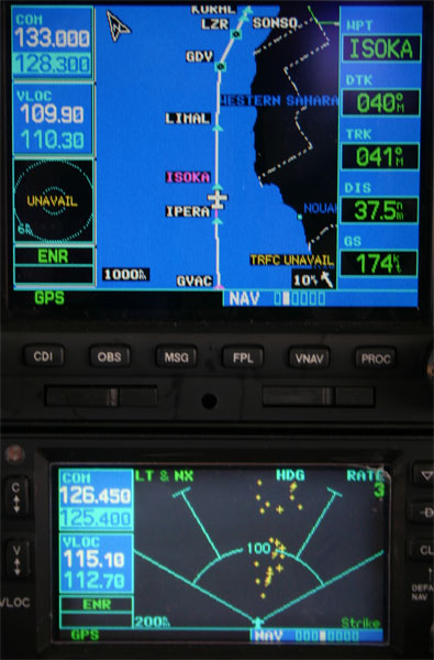
Panel shot of route, stormscope display |
Marrakech- Good night’s sleep, airport at 6:15 local for 7:30 departure. I was escorted through the various offices for my de-immigration and airport fees. Gas was 1.31 US/liter, the airport fees were $127. I go by the met office to get my briefing, it’s a TAF and metar for destination, and a satellite picture. No winds or radar available, computer is down. I
take off 5 minutes late, over the water in 2 minutes. Lots of stormscope
activity ahead. There is a haze layer over the Cape Verde Islands
that makes it difficult to see the water from 130, and I
go into some light convection. I had an initial tailwind, now with
quartering headwind 15-25. At Fuertoventura, the African mainland
is 61 miles at 3 o’clock, just visible. |
I
can see snowcapped peaks in Morocco. (A sad thing about IFR flying
is the lack of land info on the charts.) I should get in at 16:30.
For once, no GMT conversion. My ears are a little sore, and I’m
tired, but my seat is still comfortable, and I’m quite happy. I’m
a little worried about flying over hard ground and sharp pointy
rocks, again, but I’ll manage. In a car to a nice hotel room, and I’m going to sleep soon. Marrakech is a very neat place. |
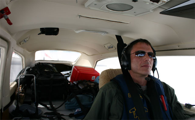
Flying along. Lots of room. |
Route was north to "Canarias" FIR then "Casa" FIR. Communications were easy, HF for only the first few hours, then VHF and radar off Morocco in to GMMX.
|
Fuertoventura, Canary Islands |

Marrakech, the airport is visible to the right, I'm on final.
|
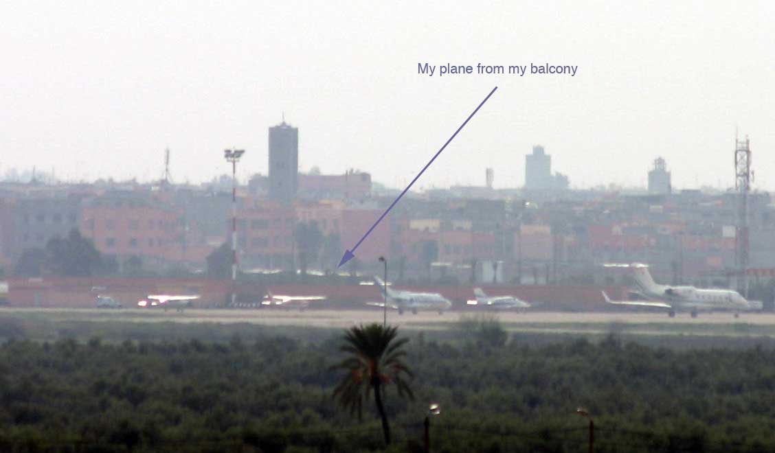
I can see my plane from the balcony of my room! |